Field assessment
Listening where projects happen.
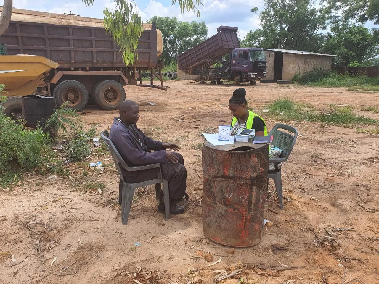
On-site consultation and observation help the team understand livelihoods, local conditions and the practical effects of project activities.
Impact is visible in better decisions, meaningful participation and practical systems that continue beyond an assignment.
The colour-coded map and key identify documented project counties and corridors while leaving room for Mokila’s continued regional growth.
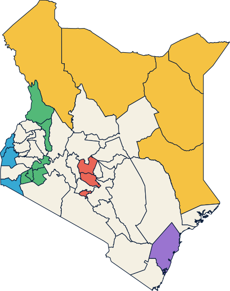
The highlighted counties represent documented assignments, not a limit on where Mokila can work.
County map based on MapSVG, adapted from @svg-maps/kenya under CC BY 4.0.
Our field and institutional work helps clients understand risk, engage affected people, strengthen implementation and respond to environmental and social responsibilities.
On-site consultation and observation help the team understand livelihoods, local conditions and the practical effects of project activities.
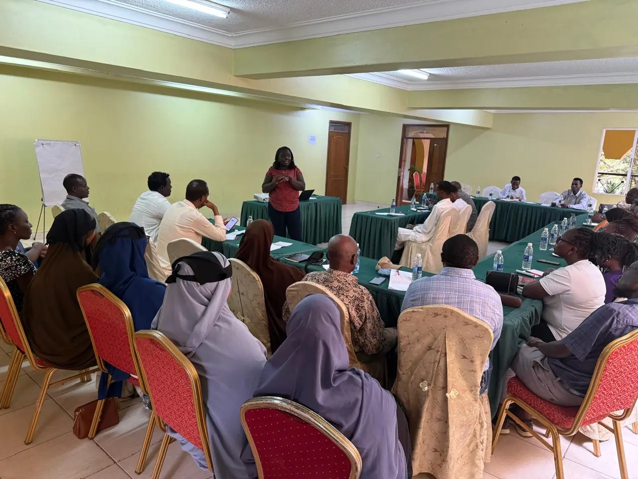
Community meetings create accessible opportunities to share information, identify priorities and build trust around project implementation.
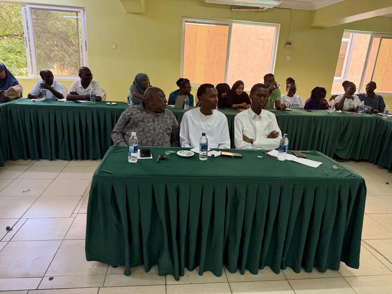
Structured engagement allows affected people, project teams and local institutions to raise concerns and contribute to workable solutions.
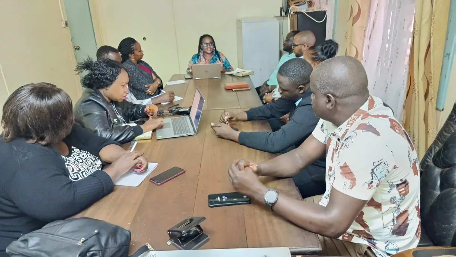
Focused consultations help implementing organisations clarify responsibilities, coordinate responses and strengthen accountability for agreed actions.
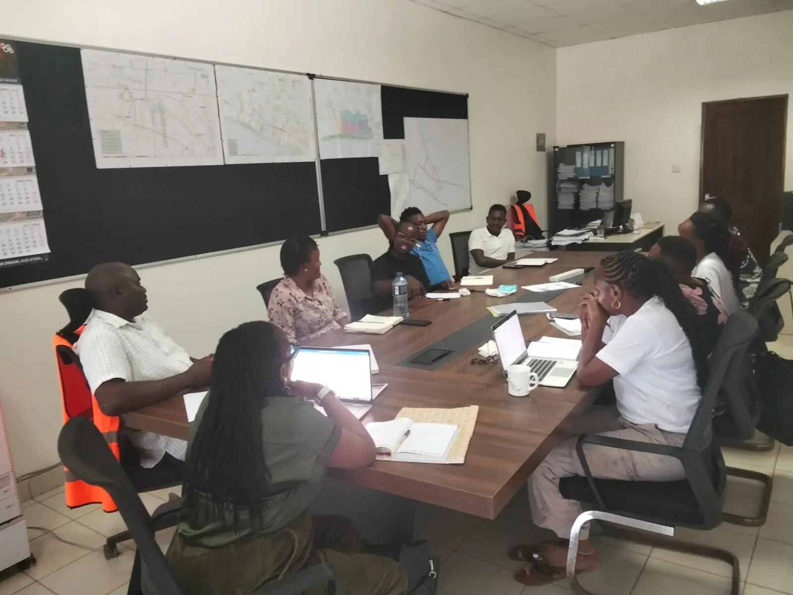
Facilitated workshops reinforce shared understanding and help teams apply environmental and social commitments consistently.
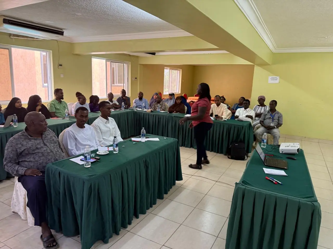
Inclusive engagement recognises different experiences and supports responses that are practical, locally informed and more likely to last.